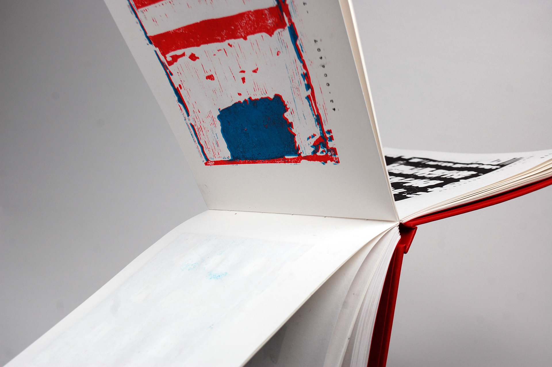
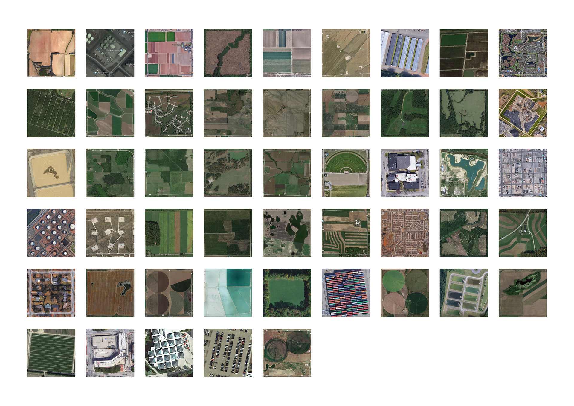
The first project of my third year at Brighton University tasked us to venture into the art of map making. We were asked to research and develop an outcome based around the topic of cartography. I decided to look into the structure of America and the grid system which makes up their cities. Using Google Maps I found one grid section from each of the 50 states and created a lino print for each individual grid. These original prints were then placed into a book with the coordinates of the grid stamped along the bottom of the page.